Navigation system
Introduction
A navigation system is a complex technology designed to assist in the process of determining a path from one point to another. It is a critical component in numerous applications, from maritime voyages to space exploration, and from hiking in the wilderness to navigating through busy city streets.
History
The history of navigation systems is as old as human civilization itself. Early navigational methods involved the use of landmarks, the sun, the moon, and the stars. The advent of the compass in ancient China marked a significant advancement in navigation technology. The development of the sextant in the 18th century further improved maritime navigation. The 20th century saw the introduction of radio-based navigation systems, such as LORAN and Decca Navigator System.
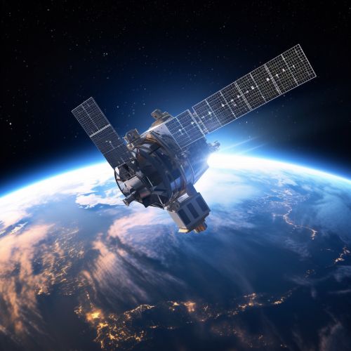
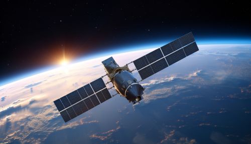
The advent of satellite-based navigation systems, such as the Global Positioning System (GPS), has revolutionized navigation in the modern era. The GPS, developed by the United States Department of Defense, became fully operational in 1995. Other global navigation satellite systems (GNSS) include Russia's GLONASS, the European Union's Galileo, and China's BeiDou.
Navigation systems can be broadly classified into three categories: terrestrial, marine, and aerospace.


Terrestrial navigation systems are used on land and include pedestrian navigation systems, vehicle navigation systems, and surveying equipment. These systems often use GPS technology in combination with digital maps and inertial navigation systems (INS) to provide accurate location information.
Marine navigation systems are used in maritime applications. They include systems such as the Automatic Identification System (AIS), Electronic Chart Display and Information System (ECDIS), and Radar. These systems help in determining the ship's position, avoiding collisions, and navigating through waterways.
Aerospace navigation systems are used in aircraft and spacecraft. They include systems such as the Flight Management System (FMS), Inertial Navigation System (INS), and satellite-based navigation systems like GPS. These systems help in determining the aircraft's position, altitude, and direction, and in planning and following a specific flight path.


A typical navigation system consists of several key components:
Sensors
Sensors are devices that measure physical quantities and convert them into signals that can be read by an observer or an instrument. In a navigation system, sensors may include accelerometers, gyroscopes, magnetometers, and GPS receivers.
Processor
The processor is the brain of the navigation system. It receives data from the sensors, processes it, and generates output in the form of position, velocity, and attitude information.
User Interface
The user interface allows the user to interact with the navigation system. It may include display screens, control buttons, and input devices like keyboards and touchscreens.


The working of a navigation system can be broadly divided into four steps: data acquisition, data processing, data integration, and output generation.
Data Acquisition
In this step, the sensors acquire data related to the physical quantities they are designed to measure. For example, a GPS receiver acquires signals from GPS satellites, an accelerometer measures acceleration, a gyroscope measures angular velocity, and a magnetometer measures magnetic field.
Data Processing
In this step, the processor processes the data acquired by the sensors. This may involve various computations, such as determining the position from GPS signals, calculating velocity from acceleration, and determining attitude from angular velocity and magnetic field.
Data Integration
In this step, the processor integrates the processed data to generate a comprehensive navigation solution. This involves combining the position, velocity, and attitude information to determine the current state of the user or vehicle.
Output Generation
In this step, the navigation system generates output in a form that can be understood by the user. This may involve displaying the current location on a map, providing directions to a destination, or displaying velocity and attitude information.
Navigation systems find applications in a wide range of fields, including transportation, military, space exploration, surveying, and geodesy.
Transportation
In transportation, navigation systems are used in vehicles, ships, and aircraft to determine their position, velocity, and direction, and to plan and follow a specific path.
Military
In the military, navigation systems are used in various applications, including guiding missiles, navigating submarines, and directing unmanned aerial vehicles (UAVs).
Space Exploration
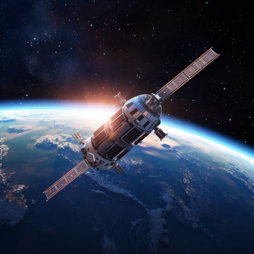
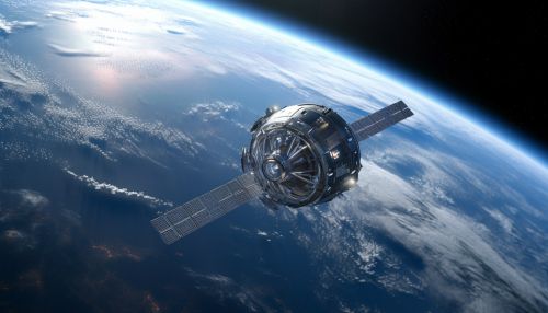
In space exploration, navigation systems are used to guide spacecraft to their destinations, whether it's another planet, a moon, or a specific location in space.
Surveying and Geodesy
In surveying and geodesy, navigation systems are used to determine the precise location of points on the Earth's surface, to measure distances between these points, and to create maps and charts.
The future of navigation systems lies in the integration of various technologies to provide more accurate, reliable, and robust navigation solutions. This includes the integration of GNSS with other sensors, such as INS, LiDAR, and cameras, the use of artificial intelligence and machine learning techniques for data processing and decision making, and the development of new algorithms for data fusion and error correction.


