Multilateration
Introduction
Multilateration is a navigation and surveillance technique that uses the concept of Time Difference of Arrival (TDOA) to accurately locate an object. It is a method used in fields such as air traffic control, mobile phone tracking, and underwater acoustics. This article delves into the principles, applications, and complexities of multilateration.


Principles of Multilateration
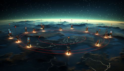
Multilateration operates on the principle of measuring the time difference of arrival of a signal at multiple locations, known as receivers. These receivers are typically stationary and known, while the signal source is the object being located. The time difference of arrival of the signal at each receiver is used to calculate the distance between the signal source and each receiver. This information is then used to triangulate the position of the signal source.
Mathematical Basis
The mathematical basis of multilateration involves the use of hyperbolic equations. In a two-dimensional system with two receivers, the difference in distances to the signal source forms a hyperbola. The signal source is located somewhere along this hyperbola. With a third receiver, a second hyperbola is formed, and the intersection of these two hyperbolas gives the location of the signal source.
In a three-dimensional system, spheres are used instead of hyperbolas, with the signal source located at the intersection of these spheres. The mathematical complexity increases with the number of dimensions and receivers, but the underlying principle remains the same.
Applications of Multilateration
Multilateration has a wide range of applications, particularly in navigation and surveillance. In air traffic control, multilateration systems are used to track the position of aircraft both in the air and on the ground. This is particularly useful in situations where radar coverage is insufficient or unavailable.
In mobile phone networks, multilateration is used to track the location of mobile devices. This is done by measuring the time difference of arrival of a signal from the mobile device at multiple cell towers. This information is used to triangulate the position of the mobile device.
Underwater acoustics also make use of multilateration to locate underwater objects or vessels. In this case, the receivers are typically hydrophones, and the signal source is an underwater acoustic beacon.
Challenges and Limitations
While multilateration is a powerful tool, it is not without its challenges and limitations. One of the main challenges is the need for precise timing. Any error in the measurement of the time difference of arrival can result in significant errors in the calculated position.
Another challenge is the need for a clear line of sight between the signal source and the receivers. Obstructions such as buildings or terrain can interfere with the signal and affect the accuracy of the location.
In addition, multilateration requires a minimum of three receivers in a two-dimensional system, or four in a three-dimensional system. This can limit its applicability in situations where it is not possible to have this many receivers.
Conclusion
Multilateration is a complex yet powerful technique used in a variety of fields. Despite its challenges and limitations, it provides a reliable method for locating objects in both two-dimensional and three-dimensional spaces. As technology continues to advance, it is likely that the applications and capabilities of multilateration will continue to expand.
