History of navigation
Early History
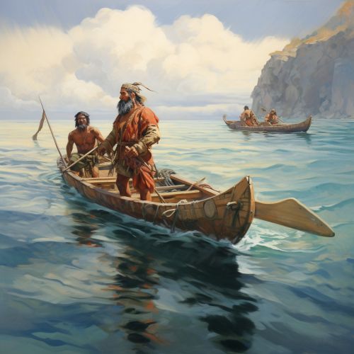
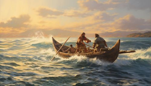
The history of navigation is as old as civilization itself. The earliest civilizations, from the ancient Egyptians to the Phoenicians, had to navigate the seas for trade, exploration, and conquest. They relied on landmarks and celestial bodies, such as the sun and stars, to guide their way. This method of navigation, known as pilotage and dead reckoning, was the norm for thousands of years.


Middle Ages
During the Middle Ages, the art of navigation took a significant leap forward. The compass, an instrument that indicates direction relative to the geographic cardinal directions, was introduced from China to Europe. The compass greatly improved sea navigation, especially during cloudy or foggy conditions when celestial bodies were not visible. The astrolabe, another important navigational tool, was also developed during this period. This device was used to measure the altitude of a celestial body above the horizon, which helped determine latitude.
Age of Discovery
The Age of Discovery, from the 15th to the 17th century, marked a significant period in the history of navigation. During this era, European explorers like Christopher Columbus, Vasco da Gama, and Ferdinand Magellan embarked on long voyages across uncharted seas. The mariner's astrolabe, a simplified version of the astrolabe, and the cross-staff, were commonly used for celestial navigation. The quadrant and the backstaff were also developed during this period.
18th Century
The 18th century was a pivotal time for navigation. The longitude problem, one of the most persistent problems in the history of navigation, was finally solved. While latitude could be determined relatively easily through celestial navigation, determining longitude was much more difficult. The invention of the marine chronometer by John Harrison in the mid-18th century provided an accurate method of determining longitude.
19th Century
In the 19th century, the advent of steam power and the development of sophisticated navigational aids like the sextant and the nautical chart revolutionized navigation. The sextant, an instrument used to measure the angle between two visible objects, was especially crucial for celestial navigation. The nautical chart, a graphic representation of a maritime area, provided mariners with a detailed understanding of the sea and its hazards.
20th Century and Beyond
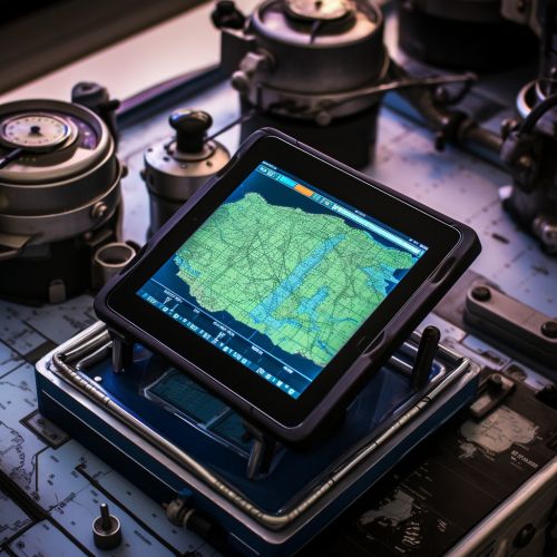
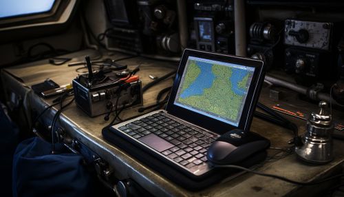
The 20th century and beyond saw the development of electronic navigation systems. Radio navigation, which uses radio waves to determine a position, became widespread in the early 20th century. The Global Positioning System (GPS), a satellite-based navigation system, was introduced in the late 20th century and has since become the standard for modern navigation.


