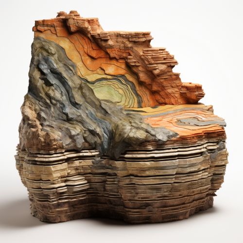
Geological Modeling
Introduction
Geological modeling, also known as geologic modeling, is a scientific methodology that involves the synthesis of geologic, geophysical, geochemical, and geotechnical data into a spatially and temporally coherent, three-dimensional representation of the subsurface. These models are used for a variety of purposes, from exploration for mineral and hydrocarbon resources to environmental remediation and land-use planning.


History and Development
The history of geological modeling can be traced back to the early days of geology as a science. Early geologists would create two-dimensional maps and cross-sections of the earth's surface, but it wasn't until the advent of computer technology in the 20th century that three-dimensional geological modeling became possible.
Principles of Geological Modeling
Geological modeling is based on several key principles. The first is the principle of superposition, which states that in an undisturbed sequence of sedimentary rocks, the oldest rocks are at the bottom and the youngest at the top. The second principle is the principle of original horizontality, which posits that layers of sediment are originally deposited horizontally under the action of gravity. The third principle is the principle of lateral continuity, which suggests that layers of sediment extend laterally in all directions until they thin out or encounter a barrier.
Techniques and Methods
There are several techniques and methods used in geological modeling, including:
- Seismic interpretation: This technique involves the interpretation of seismic data to identify subsurface structures and stratigraphy.
- Well logging: This method involves the measurement of physical properties of rocks in a borehole to determine their composition and structure.
- Geostatistics: This is a branch of statistics that deals with spatial or spatiotemporal datasets, used in geological modeling to analyze and interpret geological data.
Applications of Geological Modeling
Geological modeling has a wide range of applications in various fields, including:
- Petroleum geology: Geological models are used to predict the location and size of undiscovered oil and gas reservoirs.
- Mining geology: Geological models are used to guide exploration and development of mineral resources.
- Hydrogeology: Geological models are used to understand and manage groundwater resources.
- Environmental geology: Geological models are used to predict the behavior of contaminants in the subsurface and to guide remediation efforts.
Challenges and Future Directions
Despite the advances in geological modeling, there are still many challenges to be overcome. These include the integration of different types of data, the handling of uncertainty, and the need for more realistic representation of geological processes. The future of geological modeling lies in the development of more sophisticated models that can better represent the complexity of the earth's subsurface, and in the integration of these models with other types of models, such as hydrological and ecological models.
