Geography of Argentina
Geography of Argentina
Argentina, officially known as the Argentine Republic, is the second-largest country in South America, covering a total area of approximately 2.78 million square kilometers. It is located in the southern part of the continent and is bordered by Chile to the west, Bolivia and Paraguay to the north, Brazil, Uruguay, and the Atlantic Ocean to the east, and the Drake Passage to the south.


Topography
Argentina's topography is incredibly diverse, with landscapes ranging from vast plains to towering mountain ranges, expansive deserts to fertile vineyards. The country can be divided into four topographical regions: the Andes, the Pampas, the Chaco, and Patagonia.
The Andes
The Andes, the world's longest continental mountain range, runs along Argentina's western edge. This region is characterized by high plateaus, deep valleys, and towering peaks, the highest of which is Mount Aconcagua, standing at 6,962 meters above sea level. The Andes in Argentina are divided into three main sections: the Puna, the Northwest, and Patagonian Andes.
The Pampas
The Pampas is a fertile plains region located in the central and eastern part of the country. This region is known for its rich soil and grasslands, making it an important area for agriculture and livestock. The Pampas can be divided into two zones: the Humid Pampas, ideal for crops like soybeans and wheat, and the Dry Pampas, suitable for cattle raising.
The Chaco
The Chaco region, located in the north of the country, is a hot and semi-arid lowland area. It is characterized by its dense forests and savannas, and is home to a diverse range of wildlife.
Patagonia
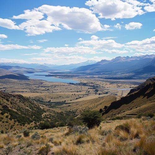
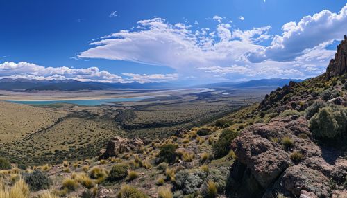
Patagonia is a vast region in the southern part of Argentina, characterized by its steppe-like plains, deserts, and grasslands. It is known for its windy and cold climate, and its stunning natural landscapes, including the Perito Moreno Glacier and the Valdes Peninsula.
Climate
Argentina's climate is as diverse as its geography, ranging from subtropical in the north to subpolar in the far south. The country can be divided into four climatic regions: the Tropical, the Temperate, the Arid, and the Cold.
Tropical
The Tropical region encompasses the northeastern part of the country, including the provinces of Misiones and Corrientes. This region experiences a hot and humid climate, with heavy rainfall throughout the year.
Temperate
The Temperate region covers the central part of the country, including Buenos Aires, Cordoba, and the Pampas. This region experiences a temperate climate, with hot summers and mild winters.
Arid
The Arid region includes the northwest and western parts of the country, including the Andean highlands and the Atacama Desert. This region experiences a dry climate, with high temperatures during the day and cold temperatures at night.
Cold
The Cold region encompasses the southern part of the country, including Patagonia and Tierra del Fuego. This region experiences a cold climate, with long, harsh winters and short, cool summers.
Hydrography
Argentina's hydrography is dominated by two major river systems: the Parana River system and the Colorado River system. The country also has several large lakes, the largest of which is Lake Argentino in Patagonia.
Biodiversity
Argentina is home to a rich biodiversity, thanks to its varied climates and topographies. The country is home to numerous species of mammals, birds, reptiles, and plants, many of which are endemic to Argentina. Some of the most notable wildlife includes the Andean condor, the puma, the jaguar, and the capybara.
