Environmental Management Using Geographic Information Systems (GIS)
Introduction
Environmental management is a multidisciplinary field that focuses on finding solutions to protect and preserve the environment. This field involves the management of resources in a sustainable way, while considering the economic, social, and environmental aspects. One of the tools used in environmental management is the Geographic Information System (GIS), a technology that provides a framework for gathering, managing, and analyzing data related to locations on the Earth's surface 1(https://www.esri.com/en-us/what-is-gis/overview).


Geographic Information Systems (GIS)
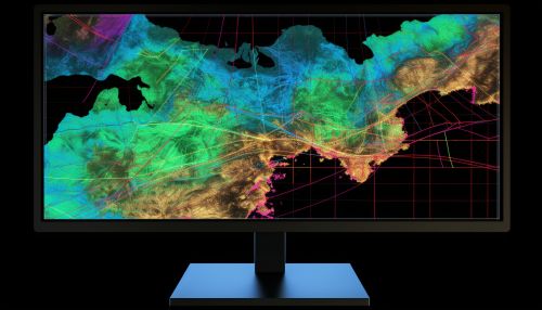
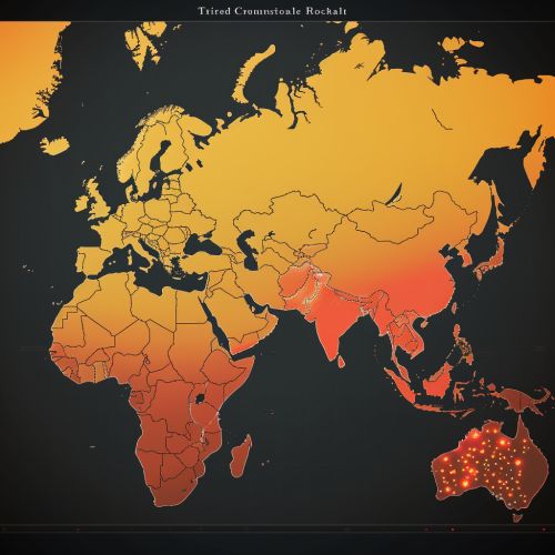
A Geographic Information System (GIS) is a computer-based tool that analyzes, stores, manipulates and visualizes geographic information, usually in a map. GIS technology can be used for scientific investigations, resource management, and development planning. For example, a GIS might allow emergency planners to easily calculate emergency response times in the event of a natural disaster, or a GIS might be used to find wetlands that need protection from pollution 2(https://www.nationalgeographic.org/encyclopedia/geographic-information-system-gis/).
Environmental Management and GIS
GIS technology is used in environmental management for mapping and analyzing environmental data to support decision-making processes. The use of GIS in environmental management has increased significantly over the past few years due to its ability to provide valuable insights that can help in managing resources more effectively 3(https://www.researchgate.net/publication/220014190_The_use_of_GIS_in_environmental_management).


Data Collection and Analysis
In environmental management, data collection and analysis are crucial steps. GIS technology can be used to collect data from various sources, including satellite imagery, GPS data, and field surveys. This data can be analyzed to identify patterns, trends, and relationships. For example, GIS can be used to analyze the impact of climate change on a specific region by comparing satellite images taken over a period of time 4(https://www.sciencedirect.com/science/article/pii/S2212096320300234).
Resource Management
GIS technology can also be used in resource management. For example, it can be used to map the distribution of resources, track changes over time, and identify areas where resources are being depleted. This information can be used to develop strategies for sustainable resource management 5(https://www.researchgate.net/publication/228350065_GIS_and_natural_resource_management).


Environmental Impact Assessment
Environmental Impact Assessment (EIA) is a process that involves evaluating the potential environmental impacts of a proposed project or development. GIS technology can be used in EIA to map and analyze the environmental impacts of a proposed project. This can help in making informed decisions about whether to proceed with the project or not 6(https://www.sciencedirect.com/science/article/pii/S2212096320300234).
Disaster Management
GIS technology can also be used in disaster management. It can be used to map disaster-prone areas and develop strategies for disaster response. For example, GIS can be used to analyze the impact of a flood on a community and develop a response plan 7(https://www.researchgate.net/publication/228350065_GIS_and_natural_resource_management).


Conclusion
GIS technology plays a crucial role in environmental management. It provides a powerful tool for collecting, analyzing, and visualizing environmental data. This can help in making informed decisions about resource management, environmental impact assessment, and disaster management. Despite the challenges associated with the use of GIS, such as data quality and availability, it remains a valuable tool in environmental management 8(https://www.researchgate.net/publication/220014190_The_use_of_GIS_in_environmental_management).
See Also
References
1. What is GIS? 2. Geographic Information System (GIS) 3. The use of GIS in environmental management 4. The use of GIS in climate change studies 5. GIS and natural resource management 6. The use of GIS in Environmental Impact Assessment 7. GIS and disaster management 8. The challenges of using GIS in environmental management
