Air Navigation
Introduction
Air navigation is the science and skill of successfully guiding an aircraft from one location to another. It involves the process of planning, recording, and controlling the movement of an aircraft from the departure point to the destination. This complex task requires a deep understanding of the principles of aeronautics, meteorology, geography, and the technology used in aircraft navigation systems.
The history of air navigation can be traced back to the early 20th century when pilots used visual references and basic dead reckoning techniques to navigate. Dead reckoning involved estimating the current position based on a previously known position, the course the aircraft was steering, the distance it had traveled, and the time that had passed. This method was highly dependent on the pilot's skill and experience, and was prone to errors due to changes in wind speed and direction.
In the 1920s, the introduction of radio navigation aids such as the radio beacon and the four-course radio range system improved the accuracy of air navigation. These systems allowed pilots to determine their position relative to a known location using radio signals.
The development of radar (Radio Detection and Ranging) during World War II further revolutionized air navigation. Radar systems could detect the distance and direction of an aircraft, providing accurate real-time navigation information. After the war, these systems were adapted for civilian use, significantly improving the safety and efficiency of air travel.
The advent of satellite-based navigation systems in the late 20th century marked another major milestone in the evolution of air navigation. The Global Positioning System (GPS), developed by the U.S. Department of Defense, provides highly accurate, three-dimensional position information anywhere on the globe. Today, GPS is a fundamental component of modern air navigation systems.
Air navigation involves several key principles, including orientation, dead reckoning, pilotage, and celestial navigation.
Orientation
Orientation refers to the aircraft's position and direction relative to the Earth's surface. It involves determining the aircraft's heading (the direction in which it is pointed) and track (the path over the ground along which it is moving). The primary tool for orientation in air navigation is the magnetic compass, which indicates the aircraft's heading relative to magnetic north.
Dead Reckoning
Dead reckoning is a method of estimating the current position of an aircraft based on a previously known position, the course the aircraft has been steering, the distance it has traveled, and the time that has passed. This method requires accurate record-keeping and constant updates to account for changes in wind speed and direction.
Pilotage
Pilotage involves navigating by visual references on the ground. It requires a detailed knowledge of the terrain over which the aircraft is flying, and is typically used in conjunction with other navigation methods.
Celestial navigation, or astronavigation, involves using observations of celestial bodies such as the sun, moon, stars, and planets to determine the aircraft's position. This method is primarily used for long-distance navigation over oceans or other areas where there are few visual or radio navigation aids.
Modern air navigation relies heavily on technological systems to provide accurate and reliable navigation information. These systems include GPS, Inertial Navigation Systems (INS), and Automatic Dependent Surveillance-Broadcast (ADS-B).
Global Positioning System (GPS)
The Global Positioning System (GPS) is a satellite-based navigation system that provides accurate position, velocity, and time information. It operates through a network of 24 satellites in orbit around the Earth. GPS receivers in aircraft calculate the distance to each satellite to determine the aircraft's precise location.
An Inertial Navigation System (INS) uses motion sensors and rotation sensors to calculate the velocity, orientation, and gravitational forces of an aircraft. This information is then used to estimate the aircraft's position and velocity. INS is often used in conjunction with GPS to provide more accurate navigation information.
Automatic Dependent Surveillance-Broadcast (ADS-B)
Automatic Dependent Surveillance-Broadcast (ADS-B) is a surveillance technology that allows aircraft to determine their position via satellite navigation and periodically broadcast it, enabling them to be tracked. The information can be received by air traffic control ground stations and other aircraft, providing situational awareness and information for collision avoidance.
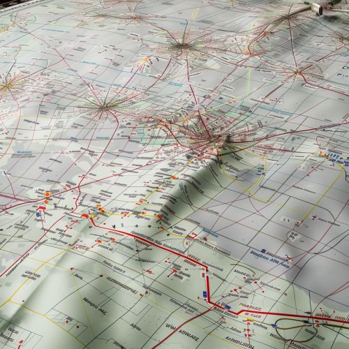
Air navigation charts are maps designed specifically for use by pilots in flight navigation. These charts provide detailed information about airways, controlled airspace, navigation aids, airports, and other features relevant to flying. There are several types of air navigation charts, including sectional charts, en route charts, and approach charts.


Air Traffic Control
Air traffic control (ATC) plays a crucial role in air navigation by providing pilots with information and instructions to ensure safe, orderly, and efficient flow of air traffic. ATC services include air traffic services, flight information services, and alerting services.
Conclusion
Air navigation is a complex and critical aspect of aviation. It involves a combination of skills, knowledge, and technology to guide an aircraft safely and efficiently from one location to another. The evolution of air navigation from basic visual navigation to sophisticated satellite-based systems has greatly enhanced the safety, efficiency, and reliability of air travel.
