Aerial Photography
Introduction
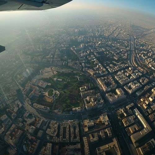
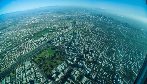
Aerial photography is the practice of capturing photographs from an elevated position, typically from an aircraft, satellite, or unmanned aerial vehicle (UAV), commonly known as a drone. This technique provides a unique perspective on the world, offering views that are not possible from ground level.


History
The history of aerial photography dates back to the mid-19th century, when French photographer and balloonist Gaspard-Félix Tournachon, also known as Nadar, took the first known aerial photograph in 1858. However, the photograph has not survived. The oldest surviving aerial photograph, titled 'Boston, as the Eagle and the Wild Goose See It', was taken by James Wallace Black in 1860.
Techniques
There are several techniques used in aerial photography, including oblique, vertical, and panoramic photography. Oblique aerial photography involves taking photographs at an angle, providing a sense of depth and perspective. Vertical aerial photography involves taking photographs directly downwards, providing a map-like view. Panoramic aerial photography involves taking multiple photographs and stitching them together to create a wide or 360-degree view.
Applications
Aerial photography has a wide range of applications, from military and environmental monitoring to urban planning and real estate. In the military, aerial photographs are used for reconnaissance and intelligence gathering. In environmental monitoring, they are used to track changes in ecosystems, wildlife populations, and land use. In urban planning, they are used to assess the layout and growth of cities. In real estate, they are used to showcase properties from unique perspectives.
Equipment
The equipment used in aerial photography can vary greatly depending on the requirements of the shoot. At the most basic level, it involves a camera and a means of elevation. The camera can be anything from a simple point-and-shoot to a high-end digital single-lens reflex (DSLR) camera. The means of elevation can be a manned aircraft, a drone, a kite, a balloon, or a satellite.
Challenges
Aerial photography presents several challenges, including dealing with weather conditions, ensuring the stability of the camera, and obtaining the necessary permissions to fly in certain areas. Weather conditions can affect the quality of the photographs, with factors such as wind, cloud cover, and light levels all playing a role. Camera stability is crucial for capturing clear, sharp images, and can be affected by turbulence and the movement of the aircraft. Permissions to fly can be complex, particularly in urban areas or near airports, where there are strict regulations around airspace usage.
Future Trends
The future of aerial photography is likely to be shaped by advances in technology, particularly in the fields of drones and satellite imaging. Drones are becoming increasingly sophisticated, with capabilities such as autonomous flight and obstacle avoidance, making them an increasingly popular choice for aerial photography. Satellite imaging is also improving, with the launch of satellites capable of capturing high-resolution images of the Earth's surface.
