Tide gauge
Introduction
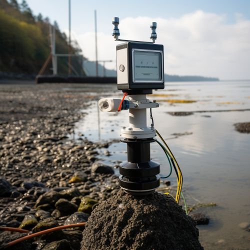
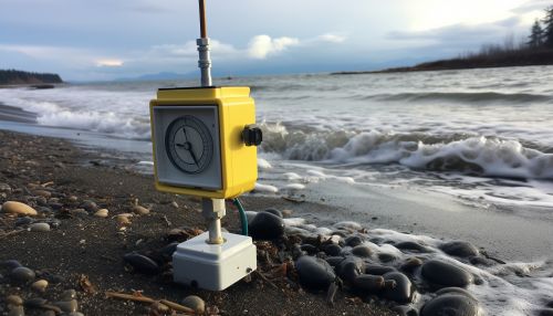
A tide gauge, also known as a mareograph, marigraph, or sea-level recorder, is a device for measuring the change in sea level relative to a datum. It is an essential tool in the field of oceanography, providing critical data for a variety of scientific and practical applications.
History
The history of the tide gauge dates back to the early 19th century, when the first rudimentary devices were used to measure sea level. These early tide gauges were simple, manual devices, often consisting of a graduated staff and a float in a stilling well.
Design and Operation
Modern tide gauges are sophisticated, automated devices that can provide continuous, accurate measurements of sea level. They typically consist of a sensor, a data logger, and a transmission system.
Sensor
The sensor is the part of the tide gauge that directly measures the sea level. There are several types of sensors used in tide gauges, including pressure sensors, radar sensors, and acoustic sensors.


Data Logger
The data logger is responsible for recording the measurements taken by the sensor. It typically includes a microprocessor, memory, and a clock to timestamp each measurement.
Transmission System
The transmission system is used to send the recorded data to a remote location for analysis. This can be done using a variety of methods, including radio, satellite, and internet connections.
Applications
Tide gauges have a wide range of applications, both scientific and practical.
Oceanography
In oceanography, tide gauges are used to study tides, sea level rise, and other oceanic phenomena. They provide critical data for understanding the dynamics of the ocean and its interaction with the Earth's climate system.
In navigation, tide gauges are used to provide real-time information on sea level, which is critical for safe navigation in coastal and estuarine waters.
Coastal Engineering
In coastal engineering, tide gauges are used to provide data for the design and operation of coastal structures, such as ports, harbors, and sea defenses.
Tsunami Warning Systems
Tide gauges play a crucial role in tsunami warning systems, providing real-time data on sea level that can be used to detect and monitor tsunamis.
Challenges and Limitations
While tide gauges provide valuable data, they also have certain challenges and limitations. These include issues related to the accuracy and precision of measurements, the influence of local factors on sea level, and the maintenance and calibration of the instruments.
Future Developments
Future developments in tide gauge technology are likely to focus on improving the accuracy and precision of measurements, expanding the range of measurable parameters, and integrating tide gauges with other oceanographic instruments and systems.
