The Role of Geostatistics in Predicting Oceanic Dead Zones
Introduction
Geostatistics is a branch of statistics that deals with spatial or spatiotemporal datasets. It is used extensively in fields such as earth sciences, hydrology, and environmental science. One of its applications is in the prediction of oceanic dead zones, areas in the ocean where oxygen levels are so low that most marine life cannot survive. This article will delve into the role of geostatistics in predicting these oceanic dead zones.
Understanding Oceanic Dead Zones
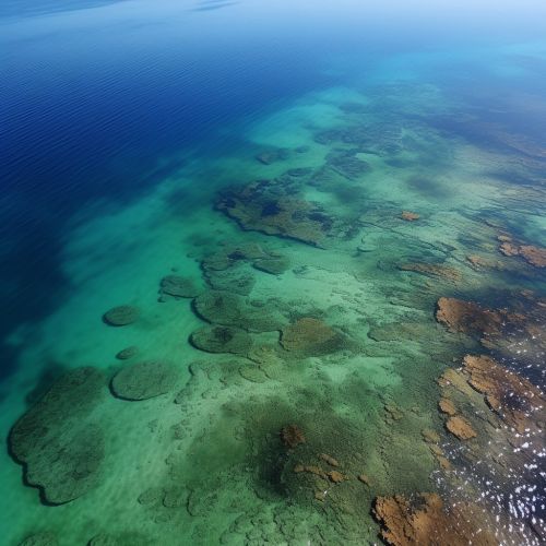
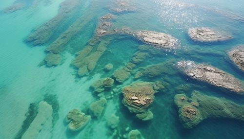
Oceanic dead zones are areas in the world's oceans and large lakes, suffering from hypoxia (low oxygen levels). These zones are typically caused by excessive nutrient pollution from human activities coupled with other factors that deplete the oxygen required to support most marine life in bottom and near-bottom water. The prediction and management of these zones are crucial for the preservation of marine ecosystems and the fishing industry.


Geostatistics: An Overview
Geostatistics originated from the mining and petroleum industries. It is a branch of statistics focusing on spatial or spatiotemporal phenomena and involves the collection, analysis, and interpretation of data. Geostatistical techniques rely on statistical concepts such as random field theory and are used to predict the probability of a certain event occurring in a specific location. When applied to oceanic dead zones, geostatistics can help predict the likelihood of a dead zone occurring in a particular area based on various factors.
Application of Geostatistics in Predicting Oceanic Dead Zones
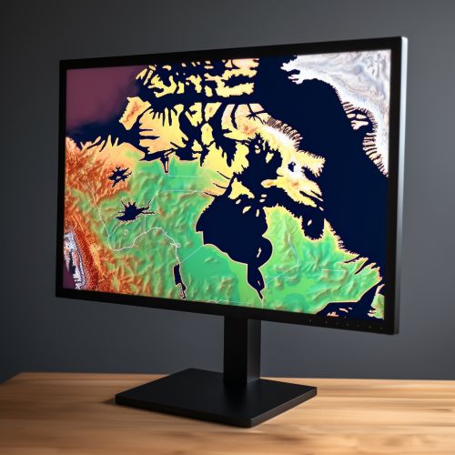
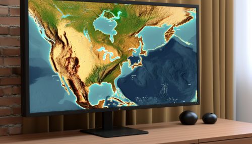
Geostatistics can be used to analyze and predict the occurrence of oceanic dead zones based on various factors such as nutrient levels, temperature, salinity, and depth. The use of geostatistical models allows for the prediction of the spatial distribution of these factors, which can then be used to predict the likelihood of a dead zone occurring.
Nutrient Levels
Excessive nutrient levels, particularly nitrogen and phosphorus, are one of the primary causes of oceanic dead zones. These nutrients can come from various sources, such as agricultural runoff and sewage. Geostatistical models can be used to predict the spatial distribution of these nutrients in the ocean, which can then be used to predict the likelihood of a dead zone occurring.
Temperature
The temperature of the water can also influence the occurrence of dead zones. Warmer water holds less oxygen than colder water, so areas with higher temperatures are more likely to become dead zones. Geostatistical models can be used to predict the spatial distribution of water temperature, which can then be used to predict the likelihood of a dead zone occurring.
Salinity
Salinity, or the saltiness of the water, can also influence the occurrence of dead zones. Areas with higher salinity are more likely to become dead zones because the high salt content can decrease the amount of oxygen in the water. Geostatistical models can be used to predict the spatial distribution of salinity, which can then be used to predict the likelihood of a dead zone occurring.
Depth
The depth of the water can also influence the occurrence of dead zones. Deeper waters are more likely to become dead zones because they are less likely to mix with oxygen-rich surface waters. Geostatistical models can be used to predict the spatial distribution of water depth, which can then be used to predict the likelihood of a dead zone occurring.
Challenges in the Application of Geostatistics
While geostatistics provides a powerful tool for predicting oceanic dead zones, it is not without its challenges. One of the main challenges is the need for high-quality, spatially comprehensive data. Without this, the predictions made by geostatistical models may be inaccurate. Another challenge is the inherent uncertainty in geostatistical predictions. Despite these challenges, geostatistics remains a valuable tool in the fight against oceanic dead zones.
Conclusion
The role of geostatistics in predicting oceanic dead zones is significant. By predicting the spatial distribution of factors such as nutrient levels, temperature, salinity, and depth, geostatistical models can help predict the likelihood of a dead zone occurring. While there are challenges in the application of geostatistics, it remains a valuable tool in the fight against oceanic dead zones.

