The Role of Geostatistics in Predicting Avalanches
Introduction
Geostatistics is a branch of statistics focusing on spatial or spatiotemporal datasets. Developed originally to predict probability distributions of ore grades for mining operations, it is currently applied in diverse disciplines including petroleum geology, hydrogeology, hydrology, meteorology, oceanography, geochemistry, geometallurgy, geography, forestry, environmental control, landscape ecology, soil science, and agriculture (crop yield estimation). Among these applications, the role of geostatistics in predicting avalanches is of significant importance, as it aids in risk assessment and mitigation in avalanche-prone areas.
Geostatistics: An Overview
Geostatistics is a field that deals with the statistical analysis of spatial or spatiotemporal data. It involves the study and application of statistical methods that are geared towards spatial data, including data that are continuous (such as elevation, temperature, precipitation, etc.) and data that are discrete (such as species distribution, land use, etc.). The primary objective of geostatistics is to predict the values of a random field at unobserved locations based on observations at known locations.


Avalanches: A Brief Understanding
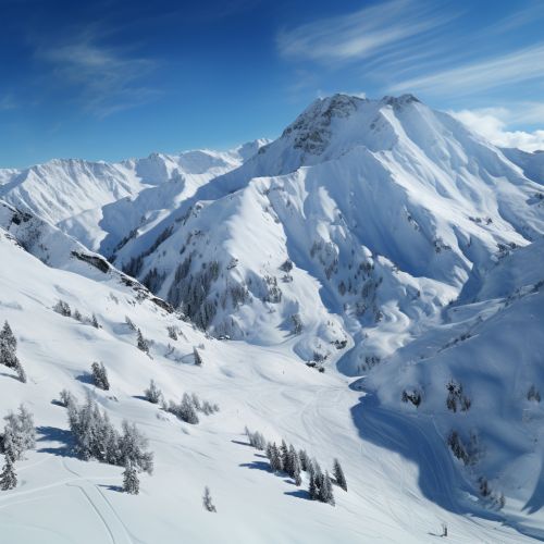
An avalanche is a rapid flow of snow down a hill or mountainside. Although avalanches can occur on any slope given the right conditions, certain times of the year and certain locations are naturally more dangerous than others. Avalanches can be triggered by a variety of factors, including weather, temperature, slope steepness, slope orientation (aspect), wind direction, terrain, vegetation, and human activity. Avalanches can be extremely destructive and deadly, hence the need for accurate prediction and early warning systems.
The Intersection of Geostatistics and Avalanche Prediction
The application of geostatistics in avalanche prediction involves the use of spatial statistical models to analyze and interpret data related to avalanche occurrences. This data can include factors such as snowfall amounts, snowpack conditions, weather patterns, and terrain characteristics. By analyzing this data in a spatial context, geostatisticians can identify patterns and trends that can help predict future avalanche activity.


Data Collection and Analysis
The first step in the geostatistical approach to avalanche prediction is the collection of relevant data. This can involve on-the-ground measurements of snowpack conditions, weather observations, and data on past avalanche occurrences. Remote sensing technologies, such as satellite imagery and aerial photography, can also provide valuable data on snowpack conditions and terrain characteristics.
Once the data has been collected, it can be analyzed using various geostatistical methods. These might include kriging, a method of interpolation used to predict the value of a variable at unobserved locations based on observed values at nearby locations; or variogram analysis, which can provide information on the spatial dependence of the data.
Prediction and Risk Assessment
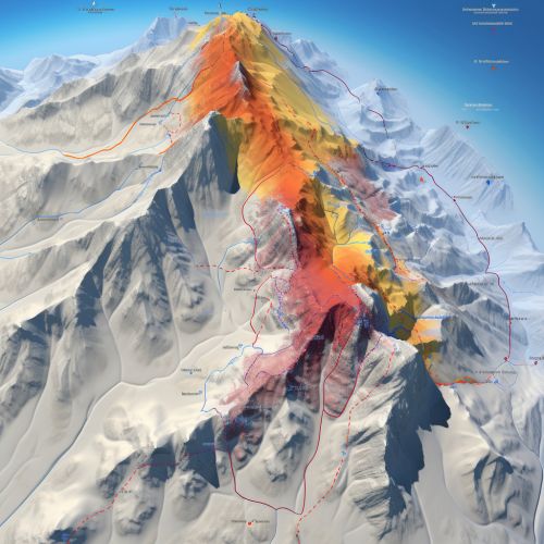
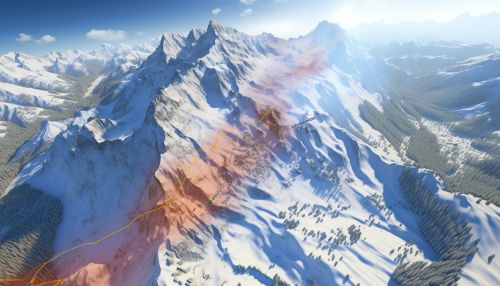
The ultimate goal of geostatistical analysis in avalanche prediction is to provide accurate and timely predictions of avalanche risk. This can be done by identifying areas of high risk based on the spatial patterns and trends identified in the data. These predictions can then be used to inform decisions about avalanche control measures and safety precautions.


Challenges and Future Directions
While geostatistics offers a powerful tool for avalanche prediction, there are also challenges associated with its use. One of the main challenges is the inherent uncertainty associated with predicting natural phenomena. Despite the sophistication of geostatistical models, they can never fully capture the complexity of natural systems.
Another challenge is the quality and availability of data. Accurate geostatistical analysis requires high-quality, high-resolution data, which can be difficult and expensive to obtain. Furthermore, the effectiveness of geostatistical models can be limited by the spatial and temporal scale at which they are applied.
Despite these challenges, the field of geostatistics continues to evolve and improve, offering new possibilities for avalanche prediction. Advances in technology, including improvements in remote sensing and data collection methods, are likely to enhance the accuracy and efficiency of geostatistical models. Furthermore, the integration of geostatistics with other predictive models, such as deterministic models, could provide a more comprehensive approach to avalanche prediction.


