The Role of Geophysics in Seismic Risk Assessment
Introduction
Geophysics is a branch of Earth science that applies the principles of physics to the study of the Earth. It is a multidisciplinary field that involves the study of the Earth's atmosphere, hydrosphere, and lithosphere, as well as the gravitational, magnetic, and electric fields of the Earth. In the context of seismic risk assessment, geophysics plays a crucial role in understanding the Earth's seismic activity and the potential risks associated with it.


Seismic Risk Assessment
Seismic risk assessment is the process of quantifying the potential loss of life, injury, building damage, and other negative consequences resulting from earthquakes. This process involves the identification of seismic hazards, the assessment of the vulnerability of structures and populations, and the estimation of the potential consequences of seismic events. Geophysics provides the necessary tools and methodologies to carry out these tasks.
Role of Geophysics in Seismic Risk Assessment
Geophysics contributes to seismic risk assessment in several ways. It provides the means to detect and monitor seismic activity, to model the propagation of seismic waves, and to assess the stability of structures and the ground. It also provides the data necessary to estimate the probability of future seismic events and their potential impact.
Seismic Detection and Monitoring
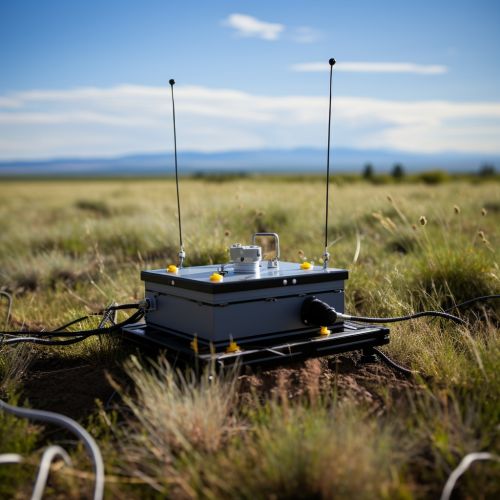
One of the primary roles of geophysics in seismic risk assessment is the detection and monitoring of seismic activity. This is achieved through the use of seismographs, which record the ground motion caused by seismic waves. These data are essential for identifying seismic hazards and for understanding the seismic behavior of the Earth.


Seismic Wave Propagation Modeling
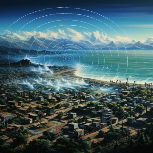
Another important role of geophysics in seismic risk assessment is the modeling of seismic wave propagation. This involves the use of mathematical models and computer simulations to predict how seismic waves will travel through the Earth's crust. These models can provide valuable information about the potential impact of an earthquake, including the expected ground shaking and the potential for ground failure.
Ground and Structural Stability Assessment
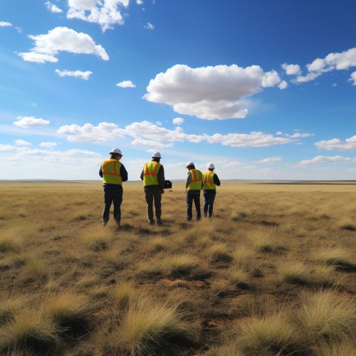
Geophysics also plays a crucial role in the assessment of ground and structural stability. This involves the use of geophysical surveys and tests to assess the physical properties of the ground and structures, such as their density, elasticity, and resistance to shear stress. These properties can significantly influence the impact of seismic events and are therefore critical for seismic risk assessment.


Seismic Hazard and Risk Estimation
Finally, geophysics provides the data necessary for seismic hazard and risk estimation. This involves the use of statistical methods to estimate the probability of future seismic events and their potential impact. These estimates are essential for the development of seismic risk mitigation strategies and for the design of earthquake-resistant structures.
Conclusion
In conclusion, geophysics plays a vital role in seismic risk assessment. It provides the tools and methodologies necessary for the detection and monitoring of seismic activity, for the modeling of seismic wave propagation, for the assessment of ground and structural stability, and for the estimation of seismic hazard and risk. As such, geophysics is an indispensable part of seismic risk assessment and earthquake risk mitigation.
