The Role of Geophysics in Groundwater Exploration
Introduction
Geophysics, a branch of earth sciences, plays a critical role in the exploration of groundwater. Groundwater, the water found underground in the cracks and spaces in soil, sand, and rock, is a vital resource for human consumption, agriculture, and industry. Geophysical methods provide non-invasive, cost-effective, and efficient means to locate and quantify groundwater resources. This article delves into the role of geophysics in groundwater exploration, discussing the various methods used, their applications, and the challenges faced.


Geophysical Methods for Groundwater Exploration
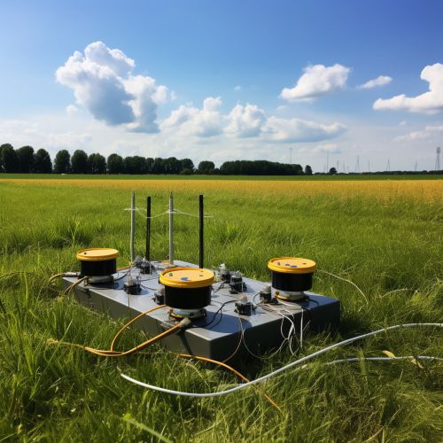
Several geophysical methods are employed in groundwater exploration. These include seismic refraction, electrical resistivity, magnetic resonance sounding, and ground penetrating radar (GPR). Each of these methods has its strengths and weaknesses, and the choice of method depends on the specific requirements of the exploration project.
Seismic Refraction
Seismic refraction is a geophysical method that measures the time it takes for seismic waves to travel through different layers of the earth. This information is used to determine the subsurface geological structure, which can indicate the presence of groundwater. The method is particularly effective in areas with distinct layers of rock and soil.


Electrical Resistivity
Electrical resistivity is another commonly used method in groundwater exploration. It involves measuring the resistance of the earth to the flow of electrical current. Different geological materials have different resistivities, and the presence of water significantly affects the resistivity of a material. By analyzing resistivity data, hydrogeologists can identify potential groundwater reservoirs.


Magnetic Resonance Sounding
Magnetic resonance sounding (MRS) is a relatively new geophysical method used in groundwater exploration. It uses the principles of nuclear magnetic resonance to detect the presence of water in the subsurface. MRS is particularly effective in detecting groundwater in unconsolidated sediments and fractured rock.


Ground Penetrating Radar
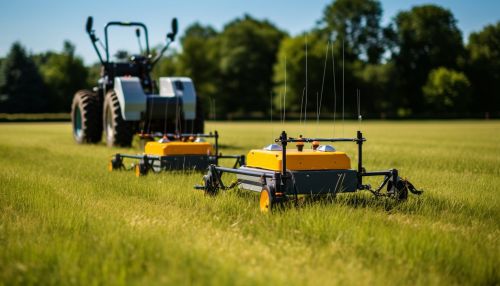
Ground penetrating radar (GPR) is a method that uses radar pulses to image the subsurface. It is effective in detecting changes in material properties, and can therefore be used to locate groundwater. However, its effectiveness decreases with depth and in materials with high electrical conductivity.


Applications of Geophysics in Groundwater Exploration
The applications of geophysics in groundwater exploration are diverse. They include locating and mapping groundwater resources, estimating aquifer properties, monitoring changes in groundwater levels, and assessing the impact of human activities on groundwater resources.
Locating and Mapping Groundwater Resources
One of the primary applications of geophysics in groundwater exploration is the locating and mapping of groundwater resources. By providing a detailed picture of the subsurface geology, geophysical methods can help identify potential aquifers and determine their extent and depth.
Estimating Aquifer Properties
Geophysical methods can also be used to estimate the properties of aquifers, such as their porosity, permeability, and hydraulic conductivity. These properties are critical for understanding the capacity of an aquifer to store and transmit water.
Monitoring Changes in Groundwater Levels
Geophysical methods can be used to monitor changes in groundwater levels over time. This is important for managing groundwater resources and for assessing the impact of climate change and human activities on groundwater levels.
Assessing the Impact of Human Activities on Groundwater Resources
Geophysical methods can help assess the impact of human activities on groundwater resources. For example, they can be used to detect groundwater contamination from industrial activities or to monitor the effects of groundwater extraction on aquifer levels.
Challenges in Geophysical Groundwater Exploration
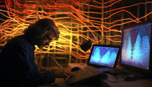
While geophysical methods provide valuable tools for groundwater exploration, they also present several challenges. These include the complexity of interpreting geophysical data, the influence of surface conditions on geophysical measurements, and the need for ground truthing to confirm geophysical findings.


Conclusion
In conclusion, geophysics plays a critical role in groundwater exploration. Through a variety of methods, it provides a non-invasive, cost-effective, and efficient means to locate and quantify groundwater resources. Despite the challenges, the use of geophysics in groundwater exploration is likely to continue to grow as the demand for groundwater resources increases.
