Tabula Peutingeriana
Overview
The Tabula Peutingeriana is an illustrated itinerarium (ancient Roman road map) showing the layout of the cursus publicus, the road network of the Roman Empire. The original map was last revised in the 4th or early 5th century and covered the whole Empire, from Britain and Spain in the west to India in the east. The surviving copy, made in the 13th century, covers only the eastern and central part of the Empire.
Origin and Name
The map is named after Konrad Peutinger, a German humanist and antiquarian who came into possession of the map in 1508. The original map, however, is believed to have been created in the late Roman Empire, during the 4th or 5th century. The map was then copied several times, with the surviving copy being made in the 13th century by a monk in Colmar, in modern-day France.
Physical Description
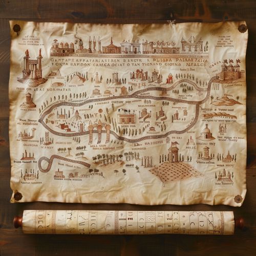
The surviving copy of the Tabula Peutingeriana is a parchment scroll, 0.34 metres high and 6.75 metres long, assembled from eleven sections, a medieval reproduction of the original scroll. It is a schematic map, showing a network of roads and the distances between stations. The map does not represent geographic features such as mountains or bodies of water in any detail, but it does show cities and towns, with the larger cities represented as pictorial vignettes.


Content and Layout
The Tabula Peutingeriana represents the entire network of Roman roads. The roads are drawn in straight lines and the distances between stations are indicated. The map also includes some geographical features such as rivers, forests, mountains and seas. Its main focus, however, is not on the physical landscape, but on the human-made infrastructure of the Roman Empire, namely its road network and the settlements connected by these roads.
The map is oriented with north to the top and shows the entire Roman Empire in great detail. In addition to roads and cities, the map also includes representations of certain prominent buildings, such as the Colosseum in Rome. The cities are represented by vignettes of castles and towers, with the size of the vignette indicating the importance of the city.
Significance and Use
The Tabula Peutingeriana is a unique historical document. It is the only known surviving map of the Roman cursus publicus, the state-run road network. The map provides a wealth of information about the Roman Empire's infrastructure, trade routes, and administrative divisions. It also gives an insight into the practical aspects of travel during the Roman Empire, such as the distances between cities and the locations of rest stops.
The map was not intended for use as a guide for travelers on the ground. It lacks the necessary detail for such a use. Instead, it was most likely used for administrative purposes, perhaps in a governmental office. It would have been a valuable tool for planning journeys and for the administration of the Empire's extensive road network.
Preservation and Display
The Tabula Peutingeriana is currently kept at the Austrian National Library in Vienna. In 2007, it was inscribed in UNESCO's Memory of the World Register in recognition of its historical value. A full digital reproduction of the map, including its numerous corrections and annotations, is available on the library's website.
