South Holland
Geography
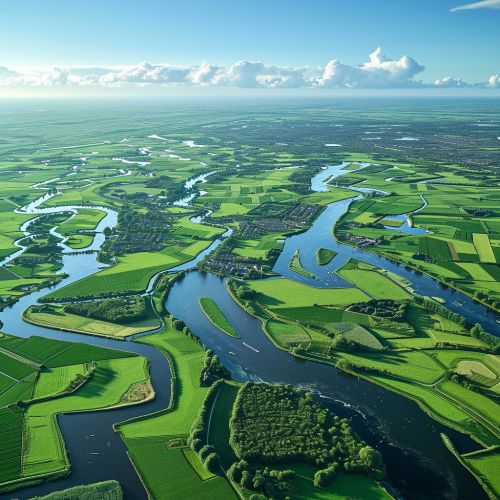
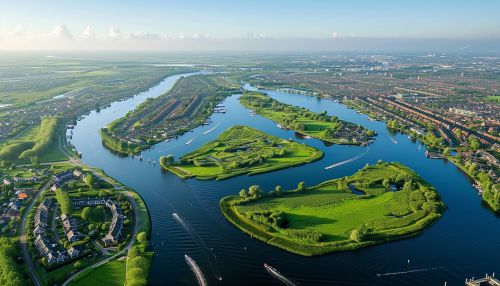
South Holland is a province of the Netherlands. It is located in the western part of the country, with its northern boundary formed by the North Sea. The province's eastern boundary is less well-defined, as it is largely formed by the complex network of rivers and canals that crisscross the region.


History
The history of South Holland is inextricably linked with water. In the Middle Ages, the area was a patchwork of peat bogs, shallow lakes, and sandy ridges, making it largely uninhabitable. However, the inhabitants of the region developed a system of water management that allowed them to drain the bogs and lakes and reclaim the land for agriculture and settlement. This system, which included the construction of canals, dikes, and pumping stations, is one of the most remarkable feats of engineering in history.
Economy
Today, South Holland is one of the most densely populated and economically dynamic regions in the Netherlands. It is home to the country's political capital, The Hague, and its largest port, Rotterdam. The province's economy is diverse, with key sectors including logistics, petrochemicals, horticulture, and services.
Culture
South Holland is also known for its rich cultural heritage. The province is home to a number of internationally renowned museums and cultural institutions, including the Mauritshuis in The Hague, which houses a large collection of Dutch Golden Age paintings, and the Kunsthal in Rotterdam, a museum of contemporary art and design.
