Polar coordinate system
Introduction
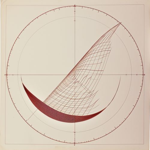
The polar coordinate system is a two-dimensional coordinate system in which each point on a plane is determined by a distance from a reference point and an angle from a reference direction. The reference point (also called the pole) is often the origin of the Cartesian coordinate system. The angle is usually measured in degrees or radians from the positive x-axis, known as the polar axis.
Definition
In a polar coordinate system, a point in the plane is represented by its distance r from the origin and its angle θ from the positive x-axis. This can be written as (r, θ). The distance r is always non-negative, and the angle θ is usually measured in degrees or radians.
Conversion between Cartesian and Polar Coordinates
The conversion between Cartesian and polar coordinates can be achieved using trigonometric functions. Given a point (x, y) in Cartesian coordinates, the polar coordinates (r, θ) can be found using the following equations:
r = √(x² + y²) θ = atan2(y, x)
Conversely, given a point (r, θ) in polar coordinates, the Cartesian coordinates (x, y) can be found using the following equations:
x = r cos θ y = r sin θ
Applications
The polar coordinate system is used in many fields of science and engineering, including physics, engineering, and computer graphics. It is particularly useful in situations where the relationship between two points is easier to express in terms of angles and distances, rather than Cartesian coordinates.


Advantages and Disadvantages
The polar coordinate system has several advantages over the Cartesian coordinate system. It is often simpler to work with in problems involving circular or spherical symmetry, such as those in electromagnetism and fluid dynamics. However, the polar coordinate system also has some disadvantages. Calculations involving angles can be more complex than those involving Cartesian coordinates, especially when dealing with multiple dimensions.
