Polar Operational Environmental Satellites
Overview
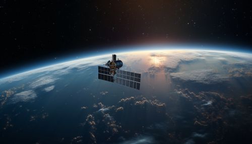
The Polar Operational Environmental Satellites (POES) are a series of satellites launched and operated by the National Oceanic and Atmospheric Administration (NOAA) in the United States. These satellites are designed to provide long-term, accurate and reliable data in real-time and near real-time from space, to support meteorological and oceanographic operations and research.


History
The POES program began in the late 1960s with the launch of the first Television Infrared Observation Satellite (TIROS). The TIROS series was succeeded by the Improved TIROS Operational Satellite (ITOS) and then the TIROS-N series. The current POES constellation consists of the Advanced TIROS-N (ATN) series, which includes the latest and most sophisticated satellites.
Design and Operation
Each POES satellite is designed to operate in a sun-synchronous and nearly circular orbit at an altitude of approximately 833 kilometers. The satellites carry a suite of sensors that provide measurements of the atmosphere, its surface and cloud cover, including the distribution of temperature, humidity, and ozone.
The primary instrument aboard each POES satellite is the Advanced Very High Resolution Radiometer (AVHRR), which provides images of clouds, the ocean surface, ice, and snow, as well as land surface features. Other instruments include the High Resolution Infrared Radiation Sounder (HIRS), the Advanced Microwave Sounding Unit (AMSU), and the Space Environment Monitor (SEM).
Data Usage
The data from POES satellites is used in a wide variety of applications. These include weather forecasting, climate monitoring, and research, volcanic eruption monitoring, forest fire detection, and search and rescue operations. The data is also used in the study of the Earth's ozone layer and global sea surface temperatures.
Future of POES
The POES program is being succeeded by the Joint Polar Satellite System (JPSS), a collaborative program between NOAA and NASA. The JPSS satellites will continue the legacy of POES, providing critical environmental data and information to enhance our understanding of the Earth's weather and climate.
