Mahanadi
Geography
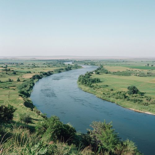
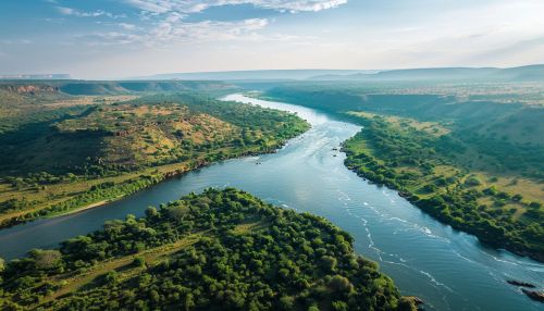
The Mahanadi is a major river in East Central India. It drains an area of around 141,600 square kilometers and has a total course of 858 kilometers. The river flows through the states of Chhattisgarh and Odisha.


Origin and Course
The Mahanadi originates in the Raipur district of Chhattisgarh, in the hills of Sierra, which are part of the Eastern Ghats. It then flows eastward, skirting the Oriya highlands, and enters the plains of Chhattisgarh. Here, it is joined by the Seonath, the Hasdeo, and the Mand. After receiving the waters of these tributaries, the Mahanadi enters Odisha, flowing through the Eastern Ghats. It finally empties into the Bay of Bengal at False Point, Jagatsinghpur.
Tributaries
The Mahanadi has numerous tributaries, the most important of which are the Seonath, the Hasdeo, the Mand, the Ib, the Ong, and the Tel. The Seonath, the Hasdeo, and the Mand join the Mahanadi in the plains of Chhattisgarh, while the Ib, the Ong, and the Tel join it in Odisha.
Hydrology
The Mahanadi has a high annual discharge, and its waters are extensively used for irrigation in both Chhattisgarh and Odisha. The river also has a number of major dams and barrages, including the Hirakud Dam, which is one of the longest earthen dams in the world.
Flora and Fauna
The Mahanadi basin is rich in biodiversity, with a wide variety of flora and fauna. The river and its tributaries support a rich variety of fish species, and the riverine forests along its banks are home to many species of birds and mammals.
Human Settlements
The Mahanadi River is a lifeline for the people of Chhattisgarh and Odisha, providing water for irrigation and drinking. The river also supports a number of major cities and towns, including Raipur, Bilaspur, Sambalpur, and Cuttack.
