Kola Superdeep Borehole
Introduction
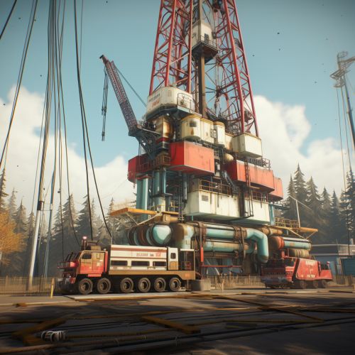
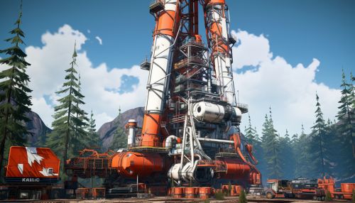
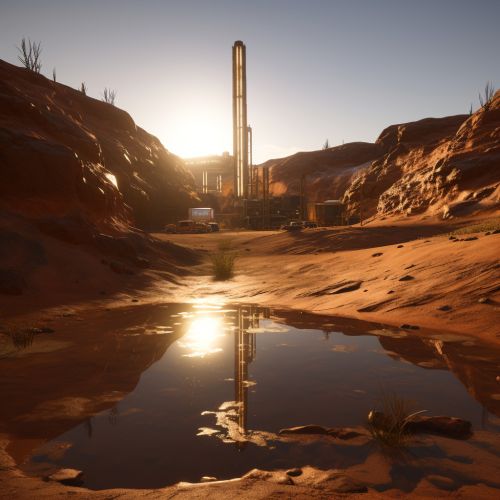
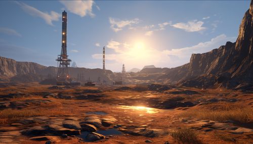
The Kola Superdeep Borehole is the result of a scientific drilling project of the Soviet Union in the Pechengsky District, on the Kola Peninsula. The project attempted to drill as deep as possible into the Earth's crust. Drilling began on 24 May 1970 using the Uralmash-4E, and later the Uralmash-15000 series drilling rig. A number of boreholes were drilled by branching from a central hole. The deepest, SG-3, reached 12,262 metres (40,230 ft) in 1989 and is the deepest artificial point on Earth.
Drilling and Logistics
The main hole of the Kola Superdeep Borehole was drilled to a depth of 7,178 metres (23,560 ft). The project then branched out into several subsidiary holes, which were drilled to varying depths. The deepest subsidiary hole, SG-3, reached a record-breaking depth of 12,262 metres (40,230 ft) in 1989. The drilling process involved the use of several drilling muds, including a bentonite-based mud to reduce friction and a potassium-based mud to stabilize the high-pressure environment of the deep hole.
Geological Findings
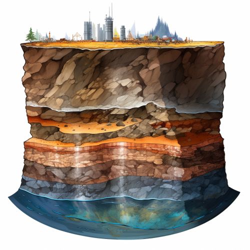
The Kola Superdeep Borehole penetrated about a third of the way through the Baltic continental crust, estimated to be around 35 kilometres (22 mi) deep, reaching Archaean continental crust. To the surprise of many, the rock at that depth had been thoroughly fractured and was saturated with water, which was surprising because it had been assumed that the deep crust was exceedingly dry.
Scientific Discoveries
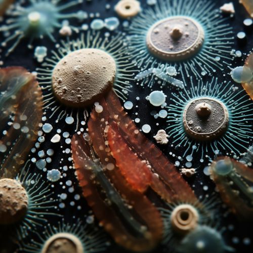
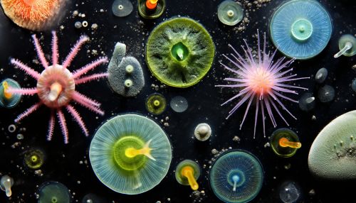
The Kola Superdeep Borehole has provided a substantial amount of geological data, and has significantly expanded our understanding of the Earth's crust. Among the more intriguing discoveries is the detection of microscopic plankton fossils four miles beneath the surface. These microfossils, all from species that have long since become extinct, were found encased in organic compounds that remained even after the death of the original organisms.
Legacy
The Kola Superdeep Borehole remains one of the most significant achievements in the field of earth science. Despite the project's termination in the early 1990s, the wealth of data obtained from the borehole continues to be analyzed and studied, contributing to our understanding of the Earth's geology.
