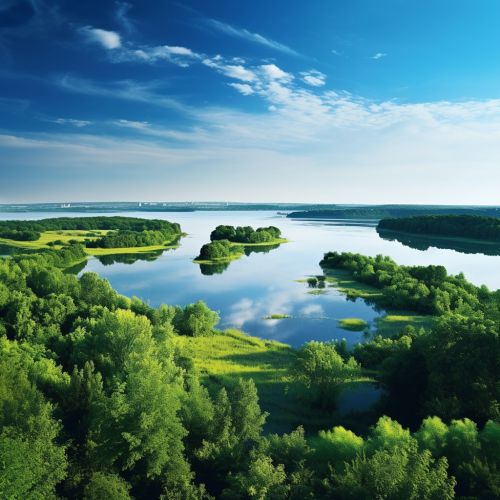
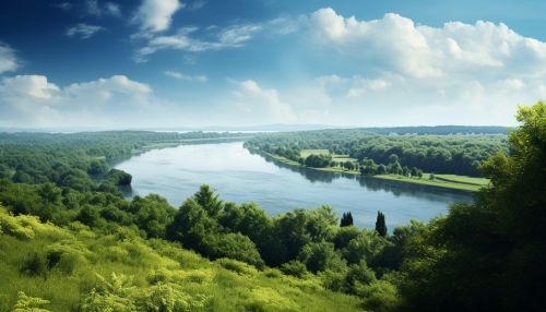
Dnieper River
Geography
The Dnieper River is one of the major rivers of Europe, rising near Smolensk, Russia, and flowing through Russia, Belarus, and Ukraine to the Black Sea. It is the longest river of Ukraine and Belarus and the fourth-longest river in Europe. The total length is approximately 2,200 kilometers (1,367 mi) with a drainage basin of 504,000 square kilometers (195,000 sq mi).


The river is noted for its dams and hydroelectric stations. The Dnieper is an important navigable waterway for the economy of Ukraine and is connected via the Dnieper–Bug Canal to other waterways in Europe.
Etymology
In antiquity, the river was known to the Greeks as the Borysthenes and was part of the Amber Road. Arheimar, a capital of the Goths, was located on the Dnieper, according to the Hervarar saga.
History
The Vikings and Varangians loved the Dnieper. The Slavs of Kiev revered it as a holy river, a gift from the gods that was filled with fish. The Varangians used it in the 9th century as part of the trade route from the Varangians to the Greeks. It was part of a vital trade route between the Baltic Sea and the Black Sea.
Hydrology
The Dnieper is a river of varying characteristics. It begins as a trickle in the Valdai Hills and flows into a broad plain. The water from the river is used for irrigation, fishing, hydroelectric power, and domestic use.
Flora and Fauna
The Dnieper basin is rich in various biological resources. There are about 60 species of fish and over 200 species of birds in the river basin. The river also supports a range of mammalian life and various types of flora.
Human Impact and Environmental Concerns
The Dnieper River has been heavily exploited for various economic activities, including power generation, navigation, irrigation, and domestic water supply. This has led to significant changes in its ecosystem, including pollution and a decrease in the biological diversity of the river.
