Cataracts of the Nile
Overview
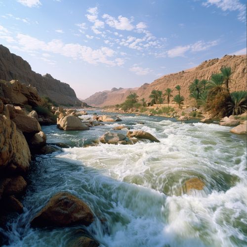
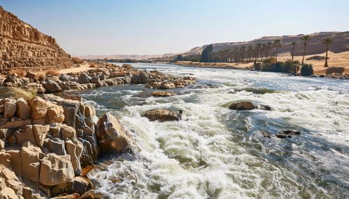
The Cataracts of the Nile are a series of six shallow, rocky rapids or whitewater sections along the Nile River, primarily located between Aswan in Egypt and Khartoum in Sudan. These natural barriers have historically posed significant challenges to navigation and have played a crucial role in the cultural and political landscapes of ancient and modern civilizations along the Nile.
Geographical and Geological Features
The cataracts are formed by the interaction of the Nile River with the underlying geology. The river flows over hard, resistant rocks such as granite and gneiss, which create rapids and waterfalls. These features are particularly prominent during the low water season when the river's flow is reduced, exposing more of the rocky bed.


First Cataract
The First Cataract is located just south of Aswan and marks the traditional boundary between Upper Egypt and Nubia. This cataract is the most famous and historically significant, as it was the site of the ancient city of Elephantine, an important trading hub and military outpost. The construction of the Aswan High Dam has significantly altered the flow of the river here, creating Lake Nasser and submerging many of the rapids.
Second Cataract
The Second Cataract is located near the modern-day border between Egypt and Sudan. This cataract was historically significant as a natural barrier that protected the southern boundaries of ancient Egypt. The area around the Second Cataract was also the site of several ancient fortresses, such as the Buhen fortress, which were used to control trade and military movements.
Third Cataract
The Third Cataract is situated near the town of Kerma in Sudan. This cataract is notable for its association with the ancient Kingdom of Kerma, one of the earliest urban centers in sub-Saharan Africa. The cataract's challenging navigation conditions contributed to the isolation and protection of this early civilization.
Fourth Cataract
The Fourth Cataract is located in the Nubian Desert, near the town of Abu Hamed in Sudan. This cataract is less well-known than the others but has been the focus of recent archaeological interest due to the construction of the Merowe Dam, which has led to the flooding of many archaeological sites.
Fifth Cataract
The Fifth Cataract is found near the confluence of the Nile and Atbara Rivers. This cataract is characterized by a series of rocky islets and rapids that make navigation difficult. The area is also known for its rich biodiversity, including several species of fish that are endemic to the Nile.
Sixth Cataract
The Sixth Cataract is the southernmost cataract, located near the city of Khartoum, where the Blue Nile and White Nile converge. This cataract marks the end of the series of rapids and the beginning of the Nile's smoother flow towards the Mediterranean Sea.
Historical Significance
The Cataracts of the Nile have played a pivotal role in the history of the region. They served as natural barriers that protected ancient Egypt from invasions and facilitated the development of distinct cultural and political entities in Nubia and Sudan. The cataracts also influenced trade routes, as goods had to be unloaded and transported overland around the rapids, leading to the establishment of important trading centers.
Cultural Impact
The cataracts have been a source of inspiration in ancient Egyptian mythology and literature. They were often depicted as the dwelling places of gods and spirits, and their turbulent waters were seen as symbols of chaos and danger. The cataracts also played a role in the religious practices of the ancient Egyptians, who believed that the gods controlled the flow of the river and the fertility of the land.
Modern Developments
In recent years, the construction of dams and reservoirs, such as the Aswan High Dam and the Merowe Dam, has significantly altered the flow of the Nile and the appearance of the cataracts. These projects have had both positive and negative impacts, including the generation of hydroelectric power, the creation of new agricultural land, and the displacement of local communities and archaeological sites.
