Bathymetric Lidar
Introduction
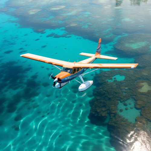
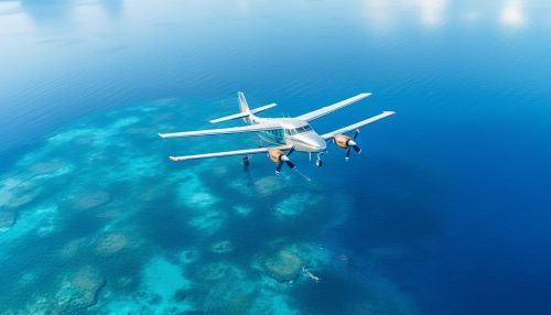
Bathymetric Lidar, also known as airborne bathymetric Lidar, is a technology used to measure the depth of a water body from an aircraft. It is a type of Lidar (Light Detection and Ranging) technology that uses light in the form of a pulsed laser to measure variable distances to the Earth. These light pulses—combined with other data recorded by the airborne system— generate precise, three-dimensional information about the shape of the Earth and its surface characteristics. Bathymetric Lidar is particularly effective in shallow, clear waters and provides more detailed information about the seafloor than traditional survey methods.


Technology
Bathymetric Lidar systems operate by emitting a pulse of light from a laser mounted on an aircraft. The light travels to the water surface, penetrates the water column, and is reflected off the seafloor back to the sensor. The time it takes for the light to travel from the aircraft to the water surface, through the water column, and back to the sensor is used to calculate the depth of the water.
The technology utilizes two distinct wavelengths of light - one for the surface of the water and another for the seafloor. The surface return is detected by a green channel, while the seafloor return is detected by an infrared channel. This dual-wavelength approach allows for the accurate measurement of water depth, even in varying water conditions.
Applications
Bathymetric Lidar has a wide range of applications, particularly in the fields of hydrography and marine geology. It is used to create detailed maps of the seafloor, which can aid in navigation, resource management, and scientific research.
In hydrography, Bathymetric Lidar is used to create nautical charts, which are essential for safe navigation. The technology can accurately map shallow areas that are difficult to survey with traditional methods, such as sonar. This makes it an invaluable tool for charting unexplored or rapidly changing coastal areas.
In marine geology, Bathymetric Lidar is used to study the physical characteristics of the seafloor, including its shape, composition, and processes. The high-resolution data provided by the technology can reveal features such as underwater landslides, coral reefs, and other geological formations. This information can be used to understand the geological history of an area, assess the potential for natural hazards, and guide resource exploration.
Bathymetric Lidar is also used in environmental monitoring and conservation. For example, it can be used to map coral reefs and monitor their health over time. The technology can also aid in the management of fisheries by providing detailed information about the habitats of fish species.
Advantages and Limitations
One of the main advantages of Bathymetric Lidar is its ability to quickly and accurately survey large areas. The technology can cover up to 70 square kilometers per hour, making it much faster than traditional survey methods. Furthermore, Bathymetric Lidar can survey shallow areas that are difficult to access with boats or other equipment.
Another advantage is the high resolution of the data. Bathymetric Lidar can detect features as small as 1 meter, providing a detailed picture of the seafloor. This makes it a valuable tool for scientific research and resource management.
However, Bathymetric Lidar also has some limitations. The technology is less effective in deep water, as the light pulses cannot penetrate beyond a certain depth. The maximum depth that can be measured is dependent on the clarity of the water, but is typically around 50 meters. Additionally, the accuracy of the measurements can be affected by factors such as water clarity, surface conditions, and the presence of suspended particles in the water.
Future Developments
As technology advances, it is likely that the capabilities of Bathymetric Lidar will continue to improve. Future developments may include the use of different wavelengths of light to increase the depth penetration, and the integration of Bathymetric Lidar with other technologies, such as hyperspectral imaging, to provide even more detailed information about the seafloor.
Another area of potential development is the use of unmanned aerial vehicles (UAVs) for Bathymetric Lidar surveys. UAVs could offer a cost-effective and flexible alternative to manned aircraft, particularly for surveys in remote or hazardous areas.
