Advances in Autonomous Drone Navigation
Introduction
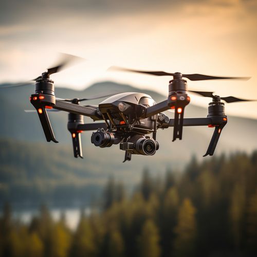
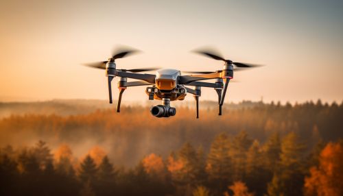
Autonomous drone navigation refers to the technology that allows drones to fly without the need for a human pilot. This technology has seen significant advances in recent years, driven by improvements in areas such as machine learning, computer vision, and sensor fusion. This article will explore these advances in detail.


Machine learning is a subset of artificial intelligence that provides systems the ability to learn and improve from experience without being explicitly programmed. In the context of autonomous drone navigation, machine learning algorithms are used to enable the drone to learn from its environment and make decisions based on this learning.
One of the key advances in this area is the use of reinforcement learning, a type of machine learning where an agent learns to make decisions by taking actions in an environment to achieve a goal. The agent is rewarded or punished based on the outcome of its actions, which it uses to improve its future decisions.
Another significant development is the use of convolutional neural networks for image recognition. These are a class of deep learning algorithms that are exceptionally good at processing grid-like data, such as images. In autonomous drone navigation, CNNs are used to identify and classify objects in the drone's environment, which is crucial for obstacle avoidance and path planning.
Computer vision is a field of computer science that focuses on enabling computers to gain a high-level understanding from digital images or videos. In autonomous drone navigation, computer vision techniques are used to process and interpret the visual data captured by the drone's onboard camera.
One of the key advances in this area is the development of simultaneous localization and mapping algorithms. These algorithms allow the drone to construct a map of its environment while simultaneously keeping track of its location within that map. This is particularly useful in GPS-denied environments, where the drone cannot rely on GPS signals for navigation.
Another significant development is the use of optical flow algorithms for velocity estimation. These algorithms estimate the motion of objects in the drone's field of view, which is essential for dynamic obstacle avoidance.
Sensor fusion is the process of combining data from different sensors to improve the system's performance. In autonomous drone navigation, sensor fusion techniques are used to combine data from various onboard sensors, such as cameras, inertial measurement units, and lidar.
One of the key advances in this area is the development of Kalman filter algorithms for state estimation. These algorithms use a series of measurements observed over time to estimate the state of a process, even when the process is noisy. In autonomous drone navigation, Kalman filters are used to estimate the drone's position, velocity, and orientation.
Another significant development is the use of particle filter algorithms for non-linear and non-Gaussian state estimation. These algorithms represent the posterior density function by a set of random samples with associated weights and are particularly useful in complex environments with non-linear dynamics.
Conclusion
The advances in machine learning, computer vision, and sensor fusion have significantly improved the capabilities of autonomous drones. These technologies enable drones to navigate complex environments with a high degree of autonomy, opening up new possibilities for their use in areas such as delivery services, surveillance, and search and rescue operations.
