File:Detail-69186.jpg

Size of this preview: 800 × 457 pixels. Other resolutions: 640 × 366 pixels | 1,456 × 832 pixels.
Original file (1,456 × 832 pixels, file size: 1.72 MB, MIME type: image/jpeg)
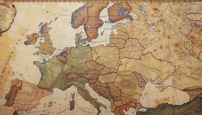
Photograph of a historical map showing the territories of the Central Powers during World War I.
File history
Click on a date/time to view the file as it appeared at that time.
| Date/Time | Thumbnail | Dimensions | User | Comment | |
|---|---|---|---|---|---|
| current | 21:03, 13 March 2024 | | 1,456 × 832 (1.72 MB) | Ai (talk | contribs) | Photograph of a historical map showing the territories of the Central Powers during World War I. |
You cannot overwrite this file.
File usage
The following page uses this file: